Accessibility 1
Accessibility 2
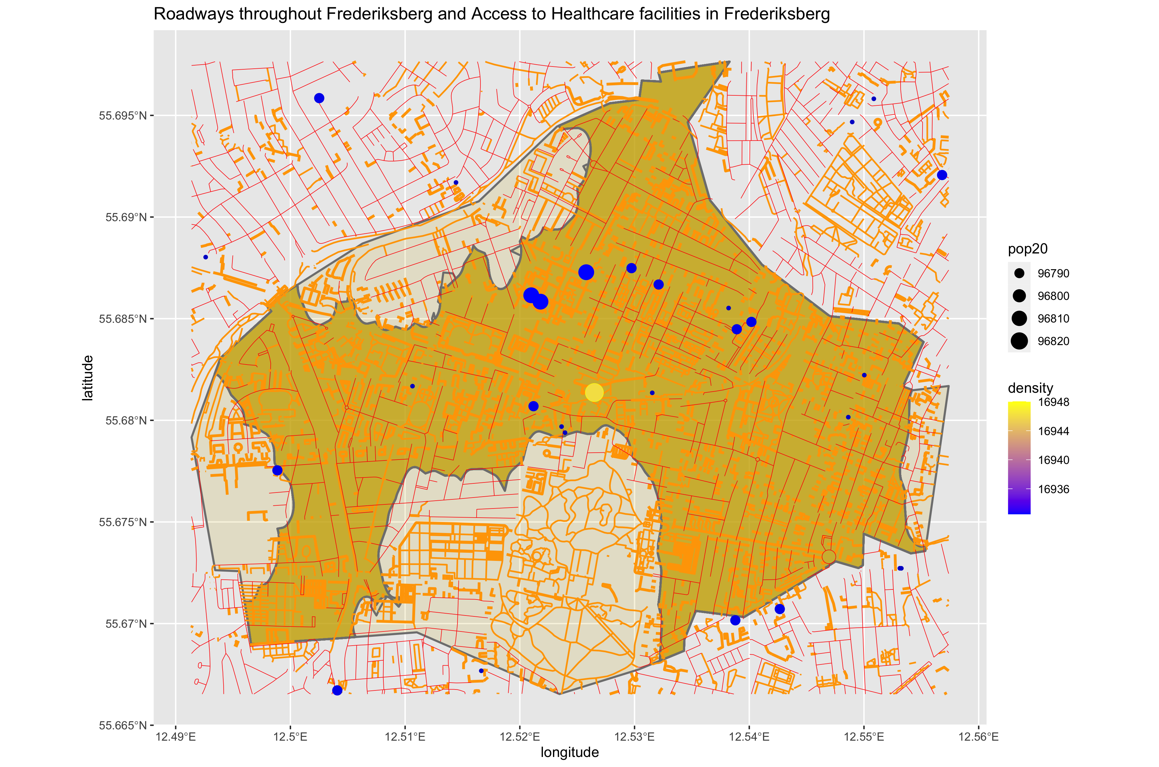 1) The total population is 113190 with 1 urban area. 2) There is really only one urban area in Frederiksberg, meaning it’s a rather densely populated administrative subdivision. 3) The primary roadways are represented by red, the secondary are represented by orange and then finally the tertiary roadways are represented by green. Primary roadways are generally condensed within the urban area. They also tend to be connected to surrounding administrative subdivisions leading me to assume that the urban area in Frederiksberg would continue into surrounding adminstrative subdivisions. This also leads me to believe that the Frederiksberg and the administrative subdivisions are incredibly interconnected through these roadways, likely with high levels of transportation between them. 4) The hospitals are represented through big blue dots, the medium blue dots represent clinics, and the small blue dots represent other healthcare facilities. Healthcare as a whole is widely available in Frederiksberg and once again heavily concentrated in the urban area.
Accessibility 3
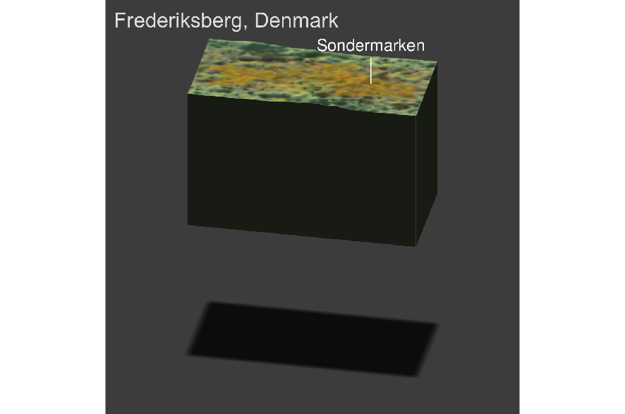 1) Overall the landscape of the administrative subdivision is flat with very few hills. The Urban areas have basically overtaken the flat areas and the hilly areas are generally left untouched. 2) Similarly to the development of urban areas, transportation facilities are heavily based in the flat areas of Frederiksberg, the hilly areas tend to have secondary/tertiary roadways while the urban area has primary roadways. 3) Health Care facilities are almost solely based in the flat areas of Frederiksberg. 4) Producing the three-dimensional map provided a better explanation for why everything seemed condensed into the urban area. It showed me that the urban area in Frederiksberg was built around the hills, likely it’s easier to built up a city on flatlands.